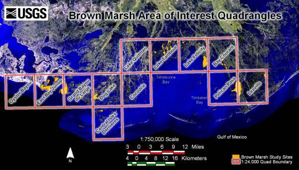
2001 Rectified Aerial Photography of the Brown Marsh Study Area
|
Prepared by: U.S. Department of the Interior U.S. Geological Survey National Wetlands Research Center Lafayette, LA |
Image Information
1993 Landsat Thematic Mapper Satellite Imagery |